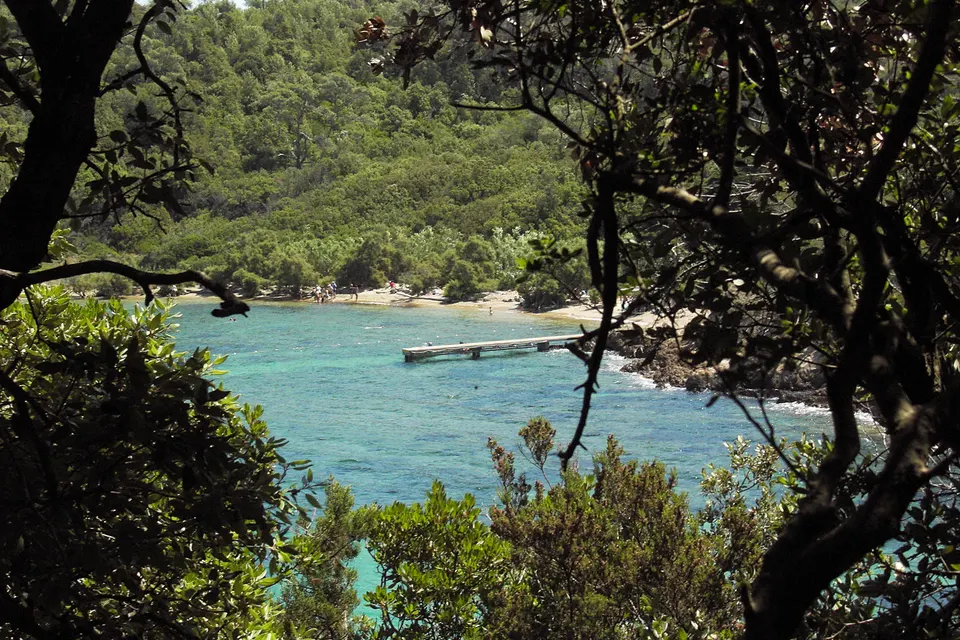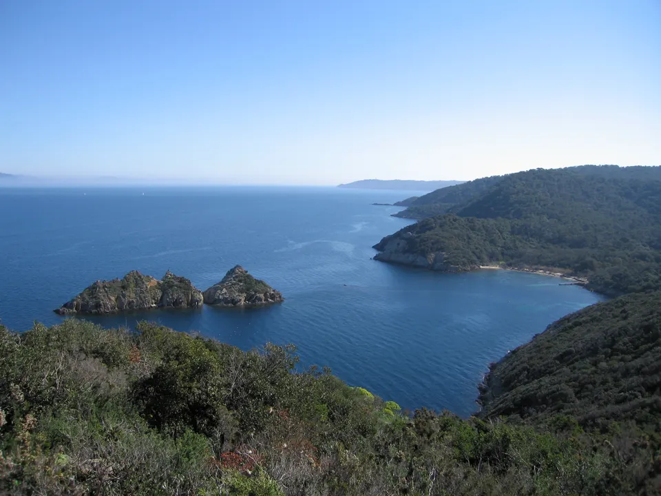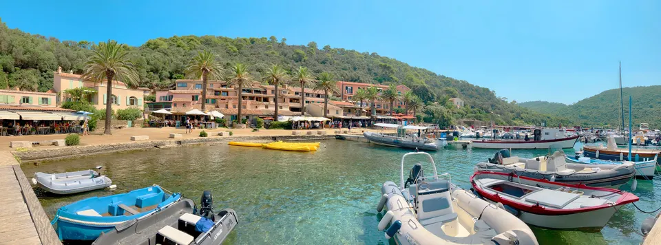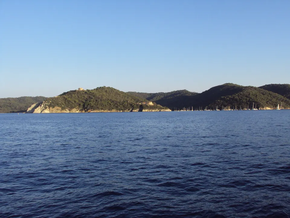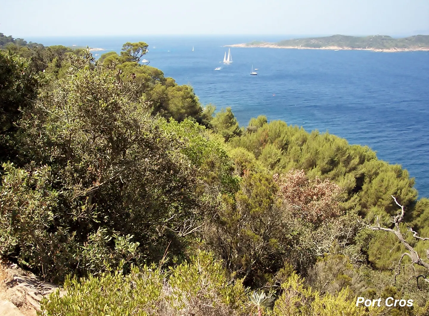
Port-Cros is explored on foot: the island has no cars and no roads, but a network of marked trails for walks of 1 to 7 hours according to Vedettes Îles d'Or. Classic destinations are La Palud beach and its underwater trail, Port-Man cove and its fort, the Vigie fort, the island's highest point at 199 m, and the Solitude valley. The terrain is steeper than on Porquerolles: walking shoes, water and a hat are essential, and access can be restricted on days of fire risk.
Key facts
- Walks of 1 to 7 hours on marked trails, starting from the harbour.
- Highlights: La Palud, Port-Man, La Vigie (199 m), the Solitude valley, the Moulin, Estissac and Éminence forts.
- Stay on the trails; dogs banned outside the village and one path to the dam.
- On red-risk days, only some trails stay open (map published by the boat companies).
Where to walk
| Place | What you will find |
|---|---|
| La Palud beach | beach and underwater trail, north-east coast |
| Port-Man cove | bay at the east end, Port-Man fort with views of Le Levant |
| Vigie fort | former semaphore, highest point (199 m), panorama from Cap Sicié to Cap Camarat |
| Solitude valley | shady valley with a small reservoir |
| Fort de l’Estissac | fort above the north coast, open to visitors according to Vedettes Îles d’Or |
| Moulin fort, Éminence fort | above the harbour and the village |
Source: Wikipedia, Port-Cros; Vedettes Îles d’Or.
A hilly island
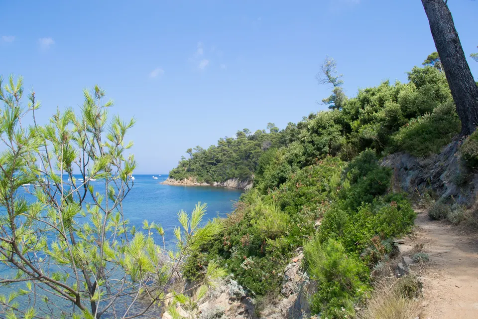
Port-Cros is the steepest of the Hyères islands: it rises to 199 m at the Vigie fort, and Mont Vinaigre (194 m) is often given as its summit. The trails climb and descend under Aleppo pines and holm oaks. According to Vedettes Îles d’Or, the island offers walks of 1 to 7 hours.
Trail rules
Stay on the marked trails and pick nothing. Dogs are only allowed in the village and, according to Vedettes Îles d’Or, on one path to the dam. No smoking outside the village. On days of red or extreme fire risk, only some trails stay open. Details in the national park.
Tips
Walking shoes, water, a hat: shops are only in the village. From November to March, a single restaurant stays open on the island, by reservation, according to Vedettes Îles d’Or. Leave time for the last boat. To finish with a swim, see the beaches and the underwater trail.
Book a trip
See the island from the sea
 Hyères: Morning Discovery or Relaxing Afternoon cruise3 - 4 hours★ 4.7 (225 reviews)from €70Check availability
 Hyères: Signature day with lunch cruise8 hours★ 4.7 (111 reviews)from €164Check availability
 Boat trip around Porquerolles and Giens3 - 6 hours★ 4.6 (34 reviews)from €82Check availability
"From" prices checked on 9 November 2026 and may have changed.
Affiliate links: Port-Cros.com earns a commission if you book, at no extra cost to you. "Show live prices" loads the GetYourGuide module, which sets its own cookies (learn more (in French)).
Frequently asked questions
Which walk should I do on Port-Cros in a day?
The most popular loop links the village to La Palud beach via the north of the island, with a swim and the underwater trail. Fitter walkers head on to Port-Man or La Vigie, the highest point.
Are the Port-Cros trails difficult?
They are marked and maintained, but the island is steep. Vedettes Îles d'Or recommend walking shoes and advise against pushchairs.
Can the trails be closed?
Yes, partly: on days of red or extreme fire risk, only some trails stay open. The boat companies publish the relevant map and advise checking the day before from 6 pm.
Sources
Information checked against the sources below. Ferry times and prices change: confirm before you go.
- Vedettes Îles d'Or, Port-Cros island: hiking, advice (in French), accessed 9 November 2026
- Wikipedia, Port-Cros: sites, relief, forts (in French), accessed 9 November 2026
- Port-Cros National Park, regulations (in French), accessed 9 November 2026